
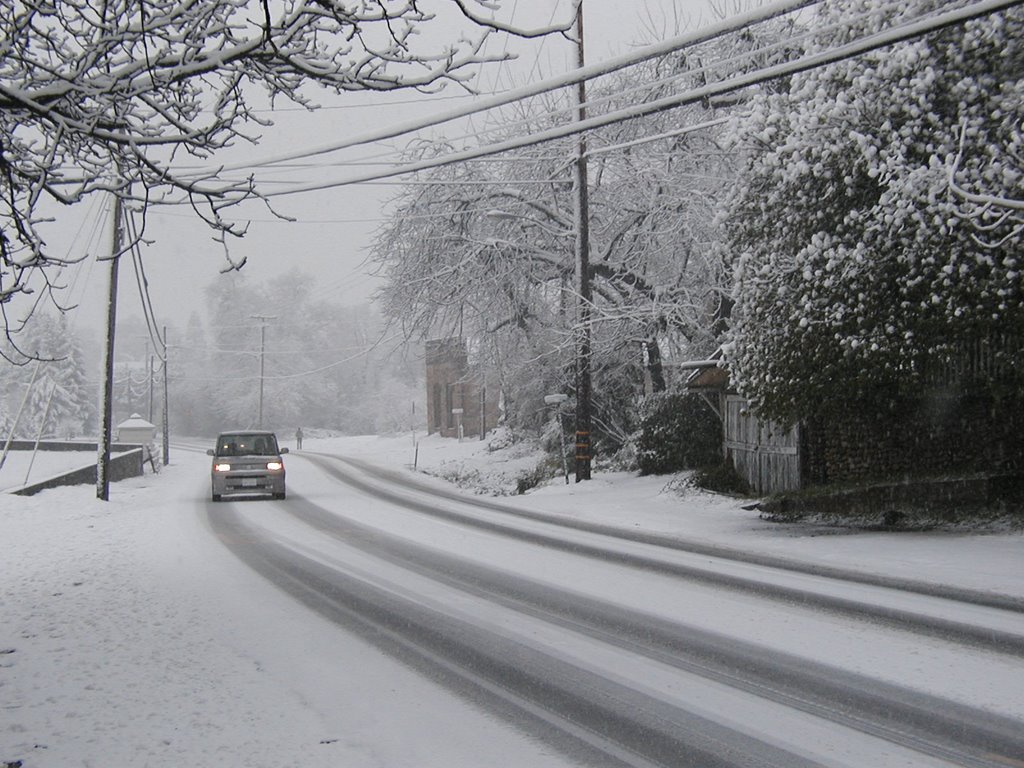
 A cold front blanketed Western El Dorado County Friday and Saturday nights, down to 1,000 feet elevation and lower.
It was a welcomed change from the warm rains so typical to the lower foothills to the Sierra Nevada Mountain Range.
County snow plows worked Missouri Flat and Pleasant Valley roads in the hours leading up to noon.
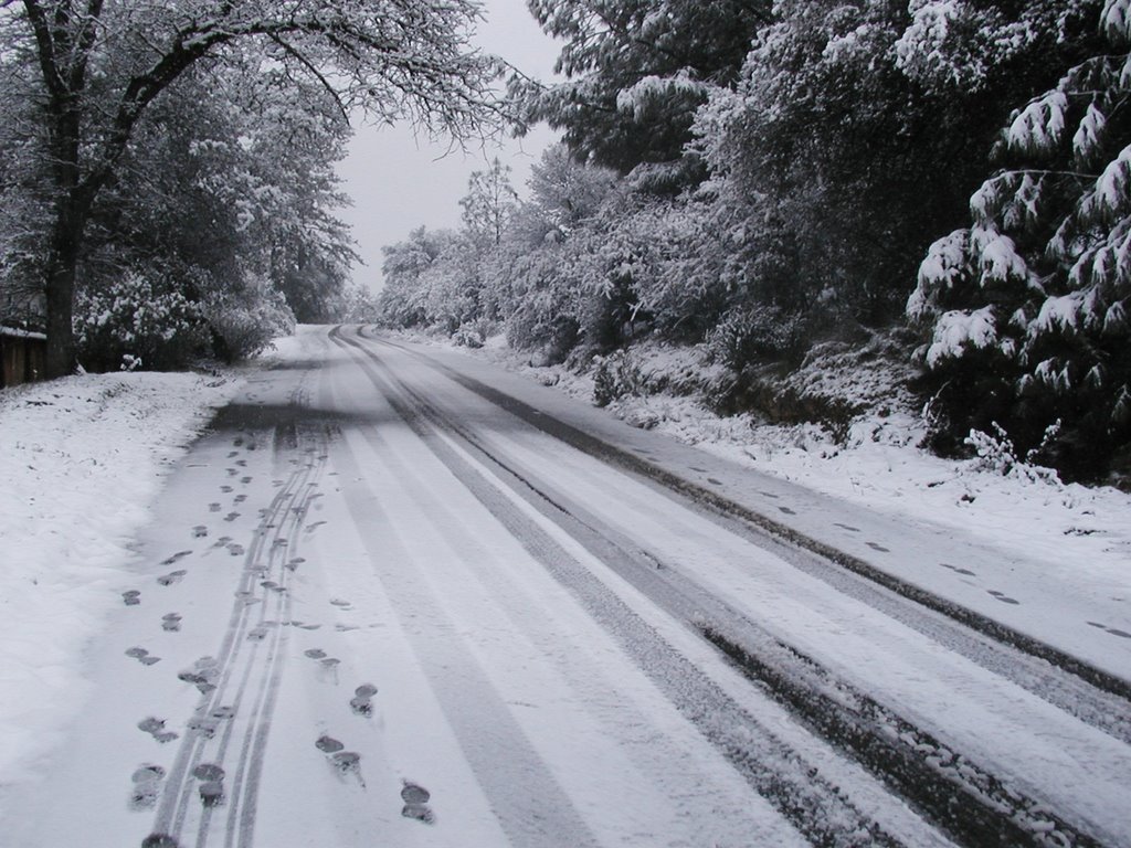
The last heavy snows in Diamond Springs fell on March 17, 2002. That's the date stamp on the photograph on the wall in the Diamond Barber Shop -- the one in the Diamond's original one-room school house.
Further east, Eric Stohl, president of El Dorado Western Rail Foundation reported, "I have 2 feet of snow on my back deck. I use it as a gauge because it is the least disturbed."
A white commute
But the afternoon commute up the hill was the most entertaining.
Sometime between 4:30 and 5 p.m., at least two thunder cells moved up U.S. 50 and hammered Cameron Park, Placerville, and Diamond Springs with fingernail-sized hail.
The bus driver's radio gave us our first indication that our homes were being pounded with ice.
 Earlier, the National Weather Service had issued a sever thunder storm warning for San Joaquin and El Dorado counties, according to CBS13.com.
"It was like driving through an ice dispenser," reported one El Dorado Transit driver over the radio.
Sacramento commuter no. 4 approached 65th Street and U.S. 50 when we heard the broadcasts.
The dispatcher cautioned all drivers. Proceed with care. Pull over if conditions warrant, she warned.
The next 20 minutes were uneventful, although I suspect cell phone traffic peaked as we headed east.
As we approached the East Bidwell exit, all four lanes of traffic were backed up to the base of Carpenter Hill. The diamond lane didn't help the driver.
We received our first indication of the severity of the storm came as the bus headed up the Bass Lake grade. I glanced down the hill in the direction of Clarksville Road.
A sport utility vehicle resting a ditch that drains into Carson Creek. Apparently, four-wheel drive didn't help the driver as he spun off the road.
 At the top of the hill, the driver took the initiative and exited the highway at Bass Lake Road and drove east on Country Club Road to our first stop.
As we turned onto Merrychase Drive, which parallels the highway, the whole area was blanketed with two to three inches of hail and ice.
Back on U.S. 50, I saw two CalTrans plows cleaning the shoulder, a rare event for Cameron Park
The interesting thing about this storm was the indiscriminate manner in which the thunder cell hit one community and skipped the next.
Cameron Park was hammered. But I didn't see any evidence that Shingle Springs received more than a light dusting of hail.
Further east, the bus trailed a CalTrans plow as it approached El Dorado Road. Again, the area between the El Dorado and Missouri Flat roads was covered in a thick blanket of ice -- three inches in places.
The drive home, south on Missouri Flat, gave an indication of how wide a swath the storm cut. The heaviest hail fell near the highway. Pleasant Valley Road, about two miles south of the freeway, had a half-inch.
Interestingly, none of the local media (as of the time I posted this blog) have posted stories about the storm to their respective websites. They, instead focused on funnel clouds at Camp Far West and hail in San Joaquin County.


No comments:
Post a Comment