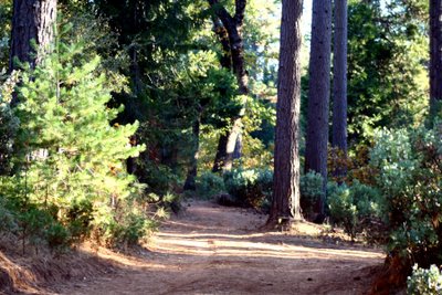
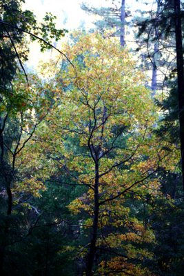
 My hike along Blue Gouge Mine Road was intended to capture images of some of the fall foliage. The old mining road, located just to the south of Mormon Emigrant Road in the Eldorado National Forest, seemed the idea location. It has a nice mixture of conifers and oaks on the north-facing slope of Camp Creek canyon.
Although I snapped some 41 images, the hike turned into an exercise marathon. Blue Gouge Mine Road exists in two segments. The first is paved and is used as the access road to the Fleming Meadow Trail System. The second is a dirt road that heads northeast from the parking lot. A forest-green gate blocks vehicular traffic.
 The dirt mining road looped to the south and ends -- on the Forest Service trail map -- just shy of the crest of hill 3920. I discovered that the road continued along a north-south ridgeline, over the highest point of the ridge and down into canyon.
Thinking the road would meet one of the nearby trails, I followed down it into the canyon. After a 30-minute walk, the road dead-ended into the side of the mountain.
The climb back up the hill preoccupied my mind as I hiked. If the road ended, I'd have to reclaim some 500 feet in elevation to the crest of hill 3920. Each time I checked the trail map, I told myself that I'd soon meet up with one of the trails in the Fleming Meadow system.
 Once I reached the bottom, my first thought was to locate a trail along Camp Creek. But the realization that two hunters had recently fired their rifles kept me from going cross-country. I feared my dark colored clothing (blue jeans and a blue T-shirt with a grey ballcap) could confuse the hunters.
So at 4:30 p.m. I reversed course and trudged my way back to the truck. The trail switched direction four times before it turned to the north. Once on top I walked the old mine and headed for home.
 For beautiful fall colors, especially those around Hope Valley, check an Sierra Foothill Magazine aricle here.


No comments:
Post a Comment